What Is the Hillcamp Subdivision?
- Save the Lone Tree Bluffs

- Nov 12, 2025
- 3 min read
Updated: Apr 23
A Breakdown of the Proposed Development West of I-25 in Lone Tree
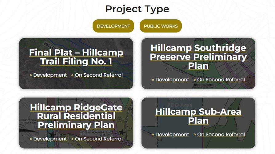
All information below about the Hillcamp (also referred to as “Mesa Tops”) project is based on official development applications, project narratives, and preliminary plans submitted to the City of Lone Tree.
These documents are available under the File Share tab for those who would like to review the materials in full.
This page provides a detailed overview of what is being proposed and where the project stands.
Where Is It?
The Hillcamp subdivision is planned for the western edge of Lone Tree, directly south of Cabela Drive and extending west and south toward the bluffs.
It is part of land within the RidgeGate and Southridge Preserve planning districts — long-range development areas established to guide growth on the city’s western mesa.
The proposal includes a new roadway connection, referred to as “Hillcamp Drive,” which would extend Cabela Drive to provide access into the site. This roadway would connect RidgeGate Parkway through existing open space areas and a drainage corridor leading toward the mesa top.
What’s Being Proposed?
The developers — Brookfield Residential (part of Brookfield Corporation) and RidgeGate Investments — have applied to build a large single-family residential neighborhood totaling roughly 400 acres across two planning areas.
RidgeGate portion:221 acres, with 261 single-family detached homes and 45 tracts
Southridge portion:171 acres, with 82 single-family homes and 22 tracts
Total:343 homes, a 2.68-acre private amenity center, internal roads, drainage systems, and seven stormwater detention ponds
The project is planned in five phases of construction, moving from east to west across the mesa over multiple years. Phase 1 alone covers approximately 74 acres, with later phases adding homes, infrastructure, and the amenity center.
The application identifies over 100 acres as open space and includes proposed connections to the Douglas County East/West Regional Trail.
What’s on the Land Now?
The site is currently largely undeveloped open grassland forming part of the natural mesa ridge overlooking Bluffs Regional Park.
The area includes:
regional trail connections, including the East/West Regional Trail
open views across the Front Range
habitat areas used by deer, elk, raptors, coyotes, and migratory birds
Potential Wetlands at the Hillcamp Site
The application materials state that no FEMA floodplains or wetlands exist on the site.
However, additional information from publicly available sources — including the Colorado Wetland Inventory and prior field surveys in the Lower South Platte River Basin — indicates mapped wetland classifications in the surrounding area.
These classifications are associated with river and floodplain environments and may require further study and formal delineation as part of the development review process.
If confirmed, these conditions may influence how the site is evaluated and developed.
It is also important to note that the area naturally drains toward lower-lying neighborhoods, including:
Lone Tree neighborhoods (The Retreat, North Sky, Montecito and Bluffmont Estates)
Surrey Ridge and McArthur Ranch (unincorporated Douglas County communities)
This makes drainage and stormwater management a key component of the review process.
What About Traffic and Access?
The proposal includes access from RidgeGate Parkway via Cabela Drive, which would be extended as Hillcamp Drive to reach the mesa top.
The internal road network is designed to circulate traffic throughout the subdivision and provide emergency access connections toward McArthur Ranch and Surrey Ridge.
The proposed roadway and access points are subject to the City’s development review process and require approval as part of the overall application.
Infrastructure and Utilities
The applicant has submitted “will-serve” documentation from Parker Water and Sanitation District indicating future service for water and sewer.
Stormwater management is proposed through seven Excess Urban Runoff Volume (EURV) ponds distributed across the site.
Water supply, wastewater capacity, and stormwater infrastructure are all reviewed as part of the City’s development process.
Why This Site Exists
Hillcamp represents one of the larger remaining undeveloped areas within Lone Tree, and its location along the bluffs places it within a highly visible and environmentally complex part of the city.
This website is intended to bring together key information from publicly available materials in a clear and organized way.
Understanding what is being proposed — and how it moves through the review process — is an important part of staying informed
Learn More
Official Hillcamp application documents — including traffic studies, drainage plans, and environmental reports — are available under the Files tab.
Residents can also follow the project through the City of Lone Tree’s website and development notification system.


Comments